
A physical map of Africa showcases the diverse topography and geographical features of this vast and fascinating continent. From the expansive Sahara and Kalahari deserts to the towering Atlas Mountains and the majestic Nile River, the physical map of Africa provides a visual representation of the continent's varied landscapes.
The physical map of Africa highlights the varying elevations across the continent, from the coastal plains to the highlands and mountain ranges. The map also shows the location of the numerous rivers and lakes that crisscross the continent, providing vital sources of water for both humans and wildlife.
Physical Map of Africa
Studying the physical map of Africa is essential for understanding the continent's unique geography and the ways in which its physical features have shaped the lives of its people. Whether you're a student preparing for a geography exam or a traveler planning an adventure, the physical map of Africa is an invaluable resource for exploring this incredible continent.
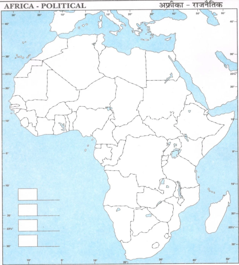
Download Large Size Physical Map of Africa for Students
Physical Map
Physical Maps of India, the World and other countries are given below.