
India, a land of diverse landscapes, is home to some of the world’s most unique and awe-inspiring physical features. From the majestic Himalayan mountain ranges to the scenic Indo-Gangetic plains, and from the arid Thar Desert to the lush Western Ghats, India’s physical landscape is a treasure trove of natural wonders.
Physical Map of India for Students
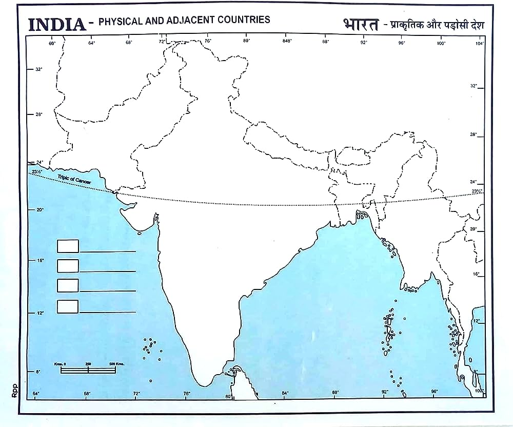
A physical map of India shows this incredible diversity, showcasing the country’s varied terrain, climate, and natural resources. It helps us understand the complex relationships between India’s geography and its climate, economy, and culture.
In this section, we present a detailed physical map of India, highlighting its major physical features, including:
- Mountain ranges: Himalayas, Karakoram, Eastern Ghats, and Western Ghats
- Plains: Indo-Gangetic Plain, Deccan Plateau, and Coastal Plains
- Deserts: Thar Desert and Cold Desert
- Islands: Andaman and Nicobar Islands, Lakshadweep Islands, and other smaller islands
- Rivers: Ganges, Indus, Brahmaputra, and other major rivers
- Lakes: Dal Lake, Chilka Lake, and other prominent lakes
Our physical map of India is designed to help CBSE students like you develop a deeper understanding of the country’s geography, preparing you for your exams and inspiring a lifelong appreciation for India’s natural beauty.
Download Large Size Physical Map of India for Students
Physical Map
Physical Maps of India, the World and other countries are given below.