

Australia is a vast and fascinating country, known for its unique landscapes, diverse wildlife, and rich cultural heritage. A physical map of Australia is an essential tool for understanding the country’s geography, climate, and natural features.
Physical Map of Australia for Students
Our physical map of Australia is designed specifically for students, providing a clear and concise overview of the country’s major physical features, including:
- Mountain Ranges: Great Dividing Range, Snowy Mountains, and other prominent ranges
- Deserts: Outback, Simpson Desert, Great Victoria Desert, and other arid regions
- Rivers: Murray River, Darling River, Cooper Creek, and other significant waterways
- Lakes: Lake Eyre, Lake Argyle, and other notable lakes
- Coastlines: Eastern coast, Western coast, Northern coast, and Southern coast
- Islands: Tasmania, Kangaroo Island, and other prominent islands
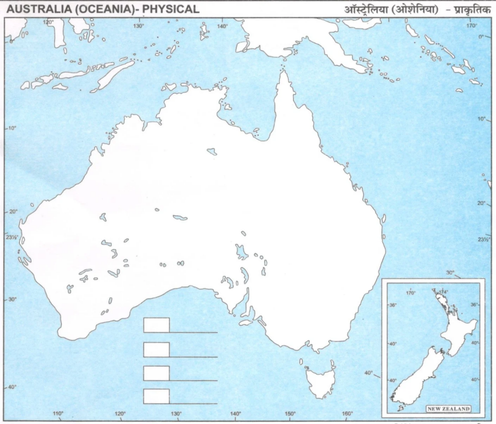
Download Large Size Physical Map of Australia for Students
Key Features of Our Physical Map:
- Color-coded: Different colors are used to represent different types of physical features, making it easy to distinguish between mountains, deserts, oceans, and more.
- Detailed: Our map includes a wide range of physical features, from the highest mountain peaks to the deepest ocean trenches.
- Interactive: Click on different regions to learn more about their unique characteristics and features.
- Study resources: Our map is accompanied by study resources, including notes, quizzes, and activities to help you learn and retain the information.
Learning Objectives:
- Identify and locate major physical features of Australia, including mountain ranges, deserts, rivers, lakes, and coastlines.
- Understand the country’s diverse climate zones and how they impact the environment and human settlement.
- Recognize the importance of Australia’s natural resources, including water, minerals, and energy sources.
- Develop an appreciation for the country’s unique wildlife and ecosystems.
Tips for Using Our Physical Map:
- Use the map to identify and label different physical features of Australia.
- Research and write about the unique characteristics of different regions, such as the Outback or the Great Barrier Reef.
- Create a project that showcases the country’s diverse climate zones and how they impact the environment and human settlement.
- Use the map to plan a virtual or real-life trip to Australia, exploring the country’s natural wonders and cultural attractions.
By using our physical map of Australia, you’ll gain a deeper understanding of this fascinating country and its unique place in the world.
Physical Map
Physical Maps of India, the World and other countries are given below.