
The world is a complex and fascinating place, comprising over 190 countries and numerous territories. A political map of the world is an essential tool for understanding global geography, international relations, and cultural diversity.
Our political map of the world is designed specifically for students, providing a clear and concise overview of the world's countries, territories, and major cities. Students can use this interactive map to learn about the unique characteristics of each country, including their capitals, languages, and cultural traditions.
Political Map of the World for Students
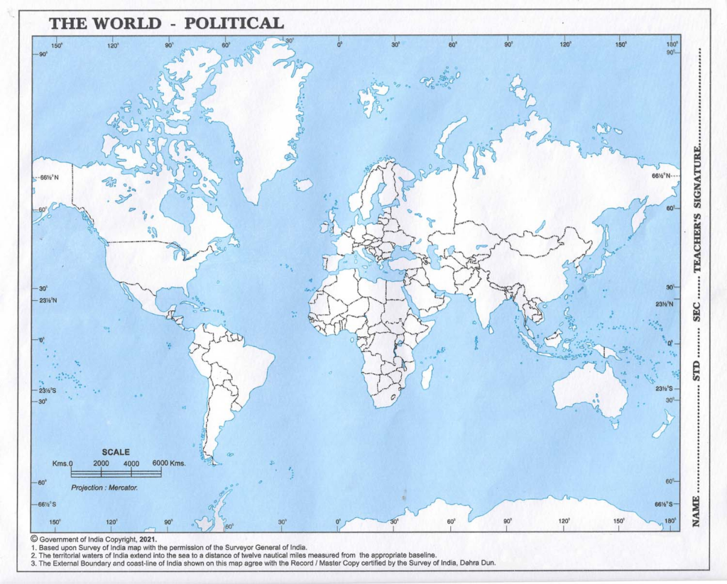
Download Large Size Political Map of the World for Students
Key Features of Our Political Map:
- Color-coded: Different colors are used to represent different countries and territories, making it easy to distinguish between them.
- Detailed: Our map includes a wide range of geographical features, including mountains, rivers, and coastlines.
- Interactive: Click on different countries and territories to learn more about their capitals, languages, and cultural traditions.
- Study resources: Our map is accompanied by study resources, including notes, quizzes, and activities to help students learn and retain the information.
Learning Objectives:
- Identify and locate the world's countries and territories.
- Understand the unique characteristics of each country, including their capitals, languages, and cultural traditions.
- Recognize the geographical features of the world, including mountains, rivers, and coastlines.
- Develop an appreciation for the diversity of cultures, languages, and customs around the world.
Tips for Using Our Political Map:
- Use the map to identify and label different countries and territories of the world.
- Research and write about the unique characteristics of different countries, such as their cultural traditions, languages, and historical landmarks.
- Create a project that showcases the geographical features of the world, including its mountains, rivers, and coastlines.
- Use the map to plan a virtual or real-life trip to explore different countries and cultures.
Fun Facts and Trivia:
- The world's largest country by land area is Russia, while the smallest is the Vatican City.
- The country with the most languages spoken is Papua New Guinea, with over 800 languages.
- The longest mountain range in the world is the Andes, stretching over 7,000 km.
- The world's largest desert is the Sahara, covering over 9,000,000 km².
By using our political map of the world, students can gain a deeper understanding of the world's diverse countries and territories, as well as its rich cultural heritage and geographical features.
Interactive Activities:
- Country of the Month: Choose a country each month and research its unique characteristics, cultural traditions, and geographical features.
- Geography Scavenger Hunt: Use the map to find and identify different geographical features, such as mountains, rivers, and coastlines.
- Cultural Exchange: Research and present on a country's cultural traditions, customs, and languages.
- Virtual Trip: Plan a virtual trip to explore different countries and cultures, using the map to guide your journey.